
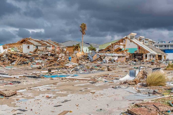
NASA’s night images show a clear blackout trail from Pensacola to Destin after Hurricane Isaias.
Story Highlights
- NASA reported sharp drops in nighttime lights along the Pensacola–Destin corridor, signaling major outages.
- The National Hurricane Center placed landfall near Destin with 105 mph winds on October 9, 2026.
- County outage reports showed hundreds of thousands without power across the Florida Panhandle.
- Winds toppled trees and power lines, matching the scale and location of the blackouts.
Satellite Imagery Pinpoints the Outage Footprint
NASA’s Earth Observatory reported a sharp drop in nighttime lights around Pensacola and along United States Route 98 toward Destin after Hurricane Isaias. The images highlighted dark zones that matched the storm’s path and timing, suggesting widespread power disruptions in the Florida Panhandle. This type of night-light analysis has become a common way to track grid impacts after major storms. It helps the public see where service failed and how recovery progresses over time.
NASA’s report focused on the corridor with some of the most severe wind and infrastructure damage. The darkened areas aligned with communities that rely on overhead lines and aging grid sections. While satellite darkness is an indirect measure, it captured the scale and location of outages people on the ground were living through. The visuals offer a simple truth: when the lights vanish over a wide area during a storm, the grid has taken a serious hit.
Landfall, Wind Speeds, and Why the Grid Failed
The National Hurricane Center placed Isaias’ landfall near Destin at about 8:30 p.m. local time on October 9, with sustained winds of 105 miles per hour. Local reports logged gusts near or above 100 miles per hour around Santa Rosa Sound and Pensacola, which can snap poles and tear down lines. Downed trees and power lines were reported across neighborhoods and highways. Those impacts match the outage pattern shown in the night images and explain the corridor-wide loss of light.
Utility and local outage snapshots told the same story from the ground. On October 9, the Pensacola News Journal reported 126,303 customers out in Escambia County, 82,805 in Okaloosa County, 77,770 in Walton County, and 53,370 in Bay County. It also cited more than 250,000 Florida Power and Light customers without electricity in the Panhandle. Each number is a single moment in a fast-moving crisis, but together they confirm a large, regional grid disruption.
How Big Was the Blackout Across the Region?
Across Florida, Alabama, and Georgia, nearly 900,000 customers lost power after landfall, according to reports that cited PowerOutage.us data. That three-state figure gives a sense of the broader reach of the storm. The NASA imagery, by contrast, centered on Florida’s Panhandle, where the darkest corridor matched the Pensacola–Destin area. Reading the two together shows both the local intensity and the regional scope without mixing the geographies.
Every customer still without power remains our priority. Crews continue working across affected communities to restore power to every customer who can safely receive it.
A cold front moving through the area this weekend is expected to bring strong winds, creating conditions that… pic.twitter.com/rrMGQ3Yf94— Florida Power & Light (@insideFPL) October 15, 2026
People across the political spectrum see the same failure when the grid goes dark: critical systems are brittle. Families could not charge phones, run medical devices, or keep food cold. Small shops lost inventory. Traffic lights failed. These are not abstract policy debates. They are proof that basic infrastructure needs steady investment, clear maintenance plans, and faster restoration. The images from space are striking, but the daily strain on the ground is what matters most.
Sources:
science.nasa.gov, npr.org, nbcmiami.com
© patriotsunited.org 2026. All rights reserved.